003 – Canfranc, the broken route
Canfranc (Huesca, Aragon) · Aspe Valley (France)
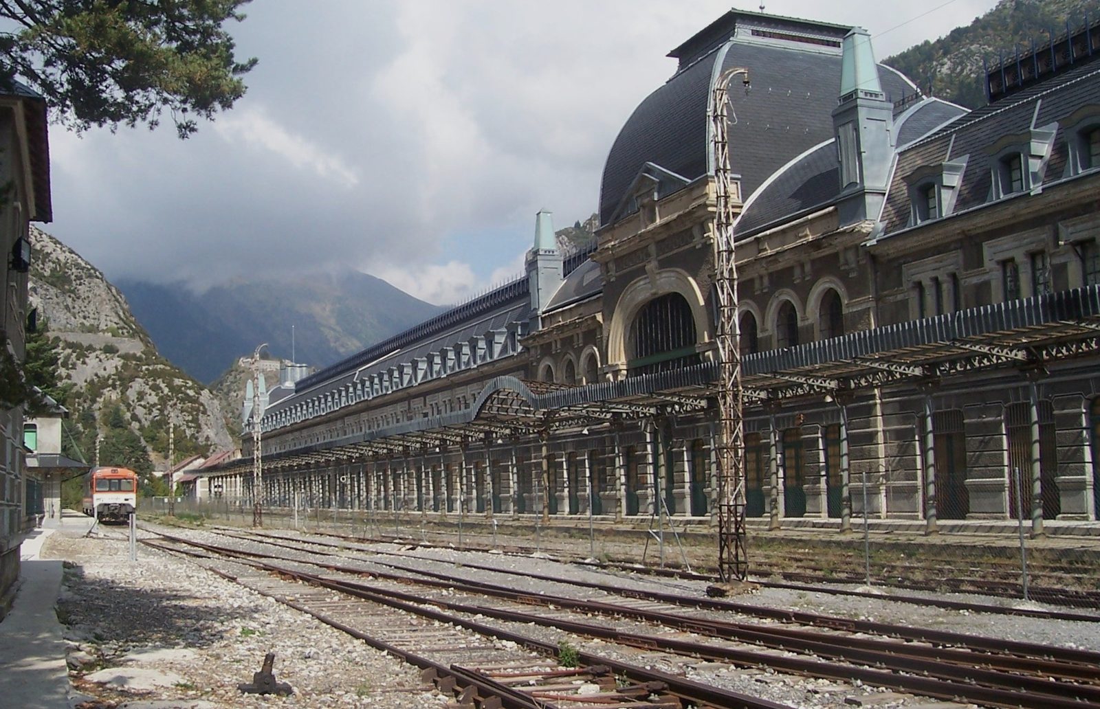 © Dolors Truñó Travesa
2Introduction
A trip we had been longing to make. We had heard about Canfranc station (Canfranc-Estación, not to be confused with Canfranc village) and its magnificence, the stories of Nazi gold, its short life, which ended with the collapse of the Estanguet bridge, the top-secret research laboratory built inside the tunnel, the abandoned trains and carriages… In short, a whole host of things that made us curious. And here is a summary of a trip that left us well satisfied.
3Contents
4Where is Canfranc?
🔍 Tap a photo to see it full size.
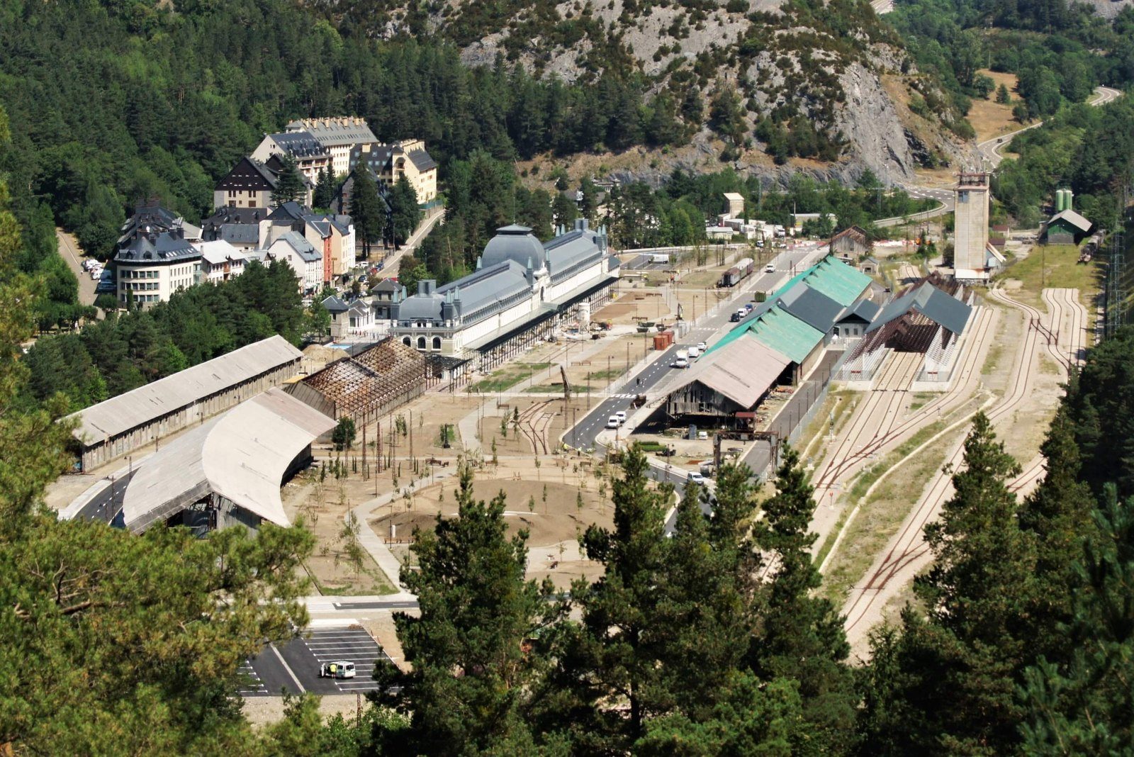
Three names for the same municipality, but two different villages, 4 km apart.
| Key facts | |
|---|---|
| Where | Canfranc-Estación, in the Jacetania (Huesca, Aragon), right by the French border and about 25 km north of Jaca. |
| Altitude | 1,190 m (the old village, 1,040 m; the Somport, 1,632 m). |
| By car | From Vallgorguina, about 420 km and around 4 h 30 min, via Lleida, Huesca and Jaca. |
| By train | Renfe's “Canfranero”, from Zaragoza to Canfranc via Huesca and Jaca: about 3 h 20 min, two trains a day in each direction, from €13.50. The line reopened in June 2025 after engineering works. From Barcelona to Zaragoza, take the AVE. |
| From France | TER train from Pau to Bedous and, from there, a bus to Canfranc-Estación. Check the timetables before you go. |
Sources: train timetables and fares, zaragozala.com (2025); Canfranc data, canfranc.es. Driving distance is approximate.
5The route
🔍 Tap a photo to see it full size.
Circular route by car: out via the Somport Pass and the Aspe Valley, back through the tunnel. 15 stops.
Getting there: from Vallgorguina to Jaca and Canfranc-Estación
We stopped in Jaca: a walk around the Citadel, with its deer, and a stroll through the old town. It was a planned stop and we enjoyed it. And then on to Canfranc-Estación, along a very different kind of road. Accommodation and a first walk: we weren't quite gaping at the impressive station, but almost.
Stage 1 · From Canfranc-Estación to the Fort du Portalet (stops 1–8)
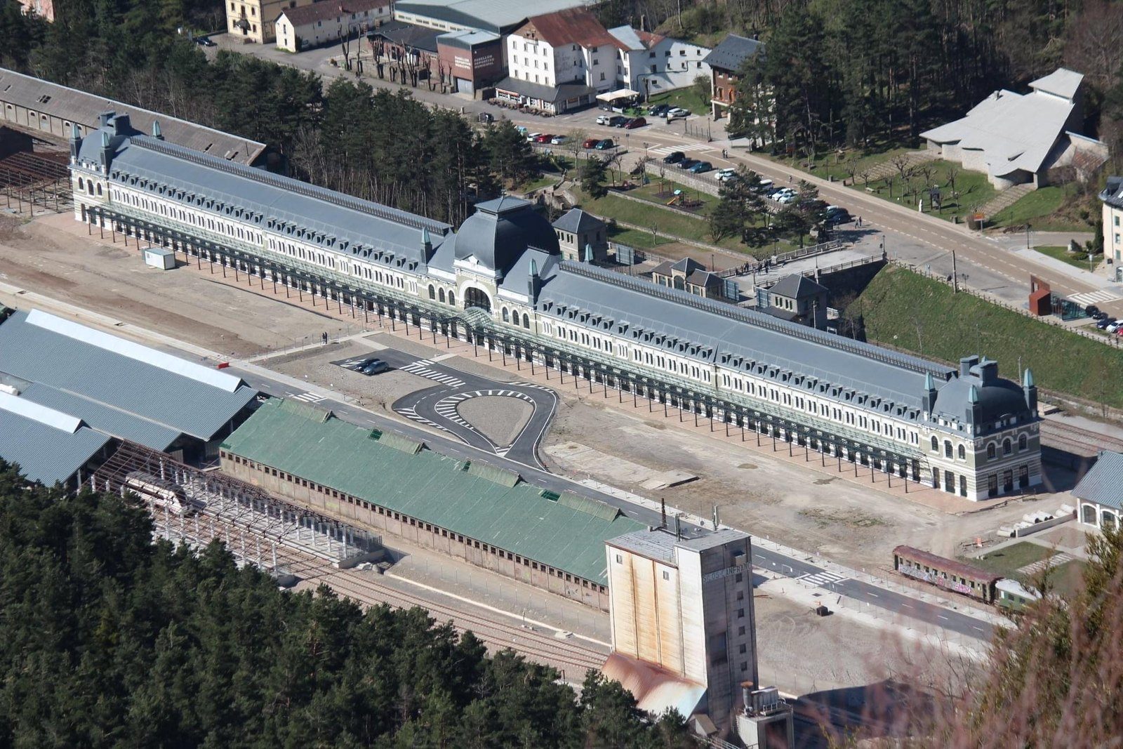
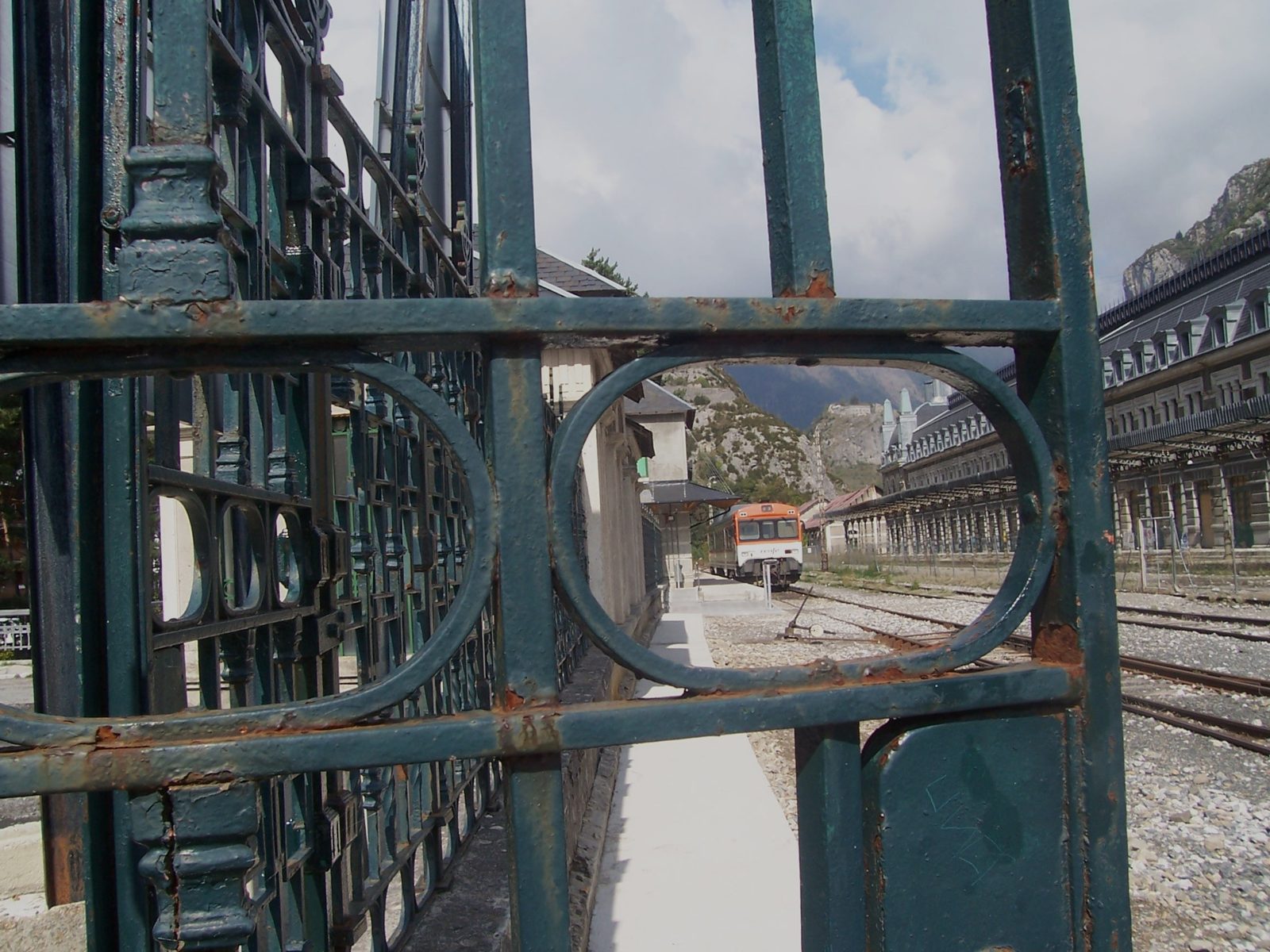
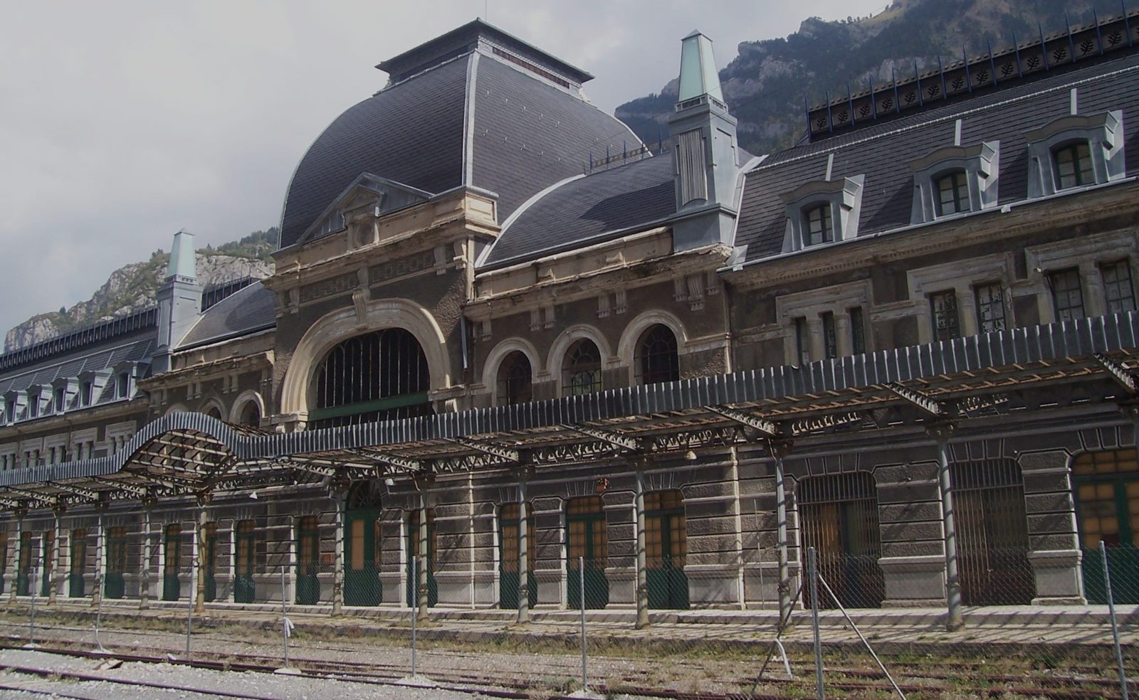
- Canfranc-Estación (1,190 m): start. The International Station, opened on 18 July 1928 by Alfonso XIII and the French president Doumergue. A 241 m symmetrical façade: one half for Spain and the other for France. Today it is a hotel and the hall can be visited. 📍 42.751471, -0.514641
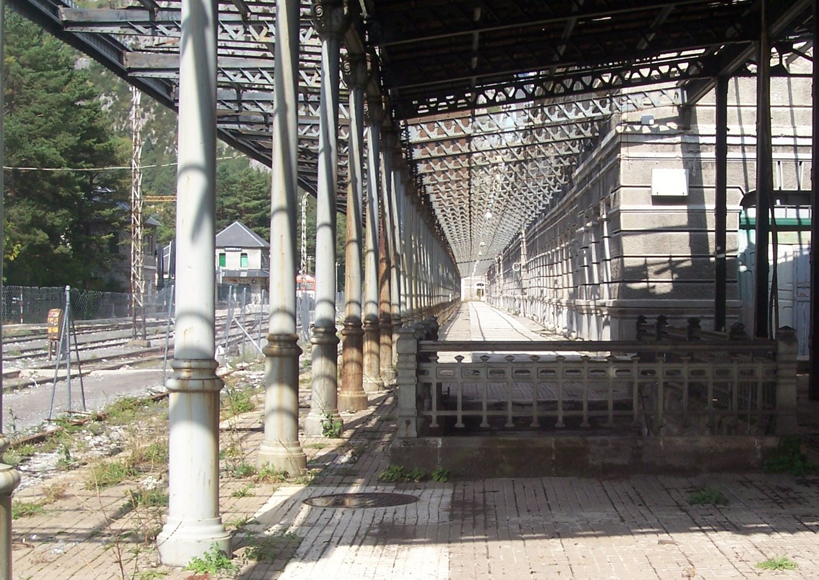
The platform canopy, with its cast-iron columns © Dolors Truñó Travesa - Coll de Ladrones fort (1,351 m): perched above the valley, built between 1888 and 1900 to guard the pass and the railway. In ruins and with restricted access, but with a magnificent view over the station. 📍 42.744, -0.518 (approx.)
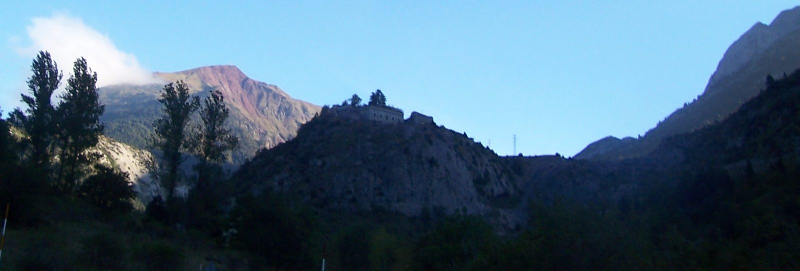
The Coll de Ladrones fort, backlit © Dolors Truñó Travesa - Canfranc village (optional detour, 4 km to the south): the original village. Remains of the Trinity church, the Pilgrims' Bridge and the Aznar Palacín tower. 📍 42.714245, -0.525110
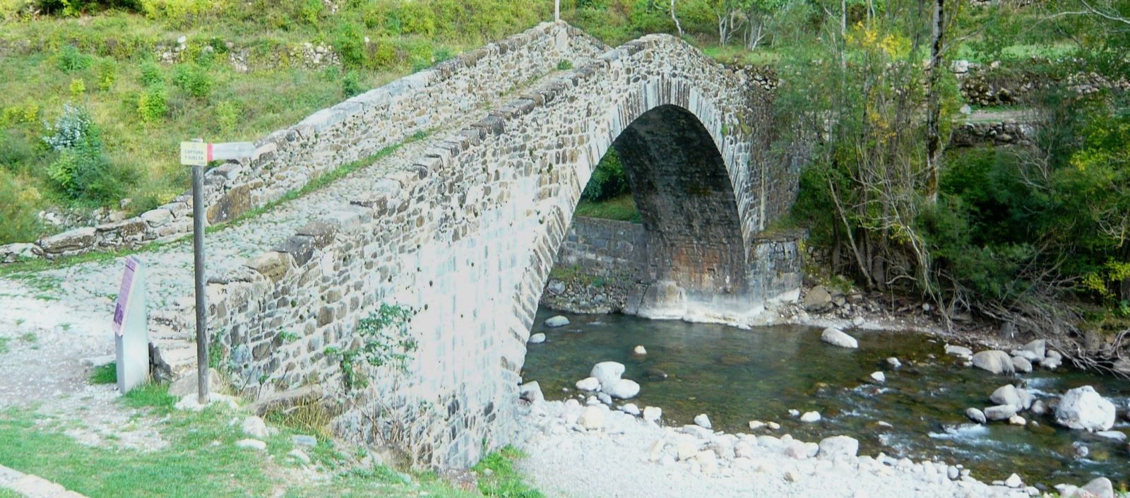
The Pilgrims' Bridge, in Canfranc village © Jaume López Puigbó - Somport Pass (1,632 m): highest point and border. We go up by the old road (N-330a). Old customs post, hostel and Camino de Santiago monolith. 📍 42.798475, -0.531828
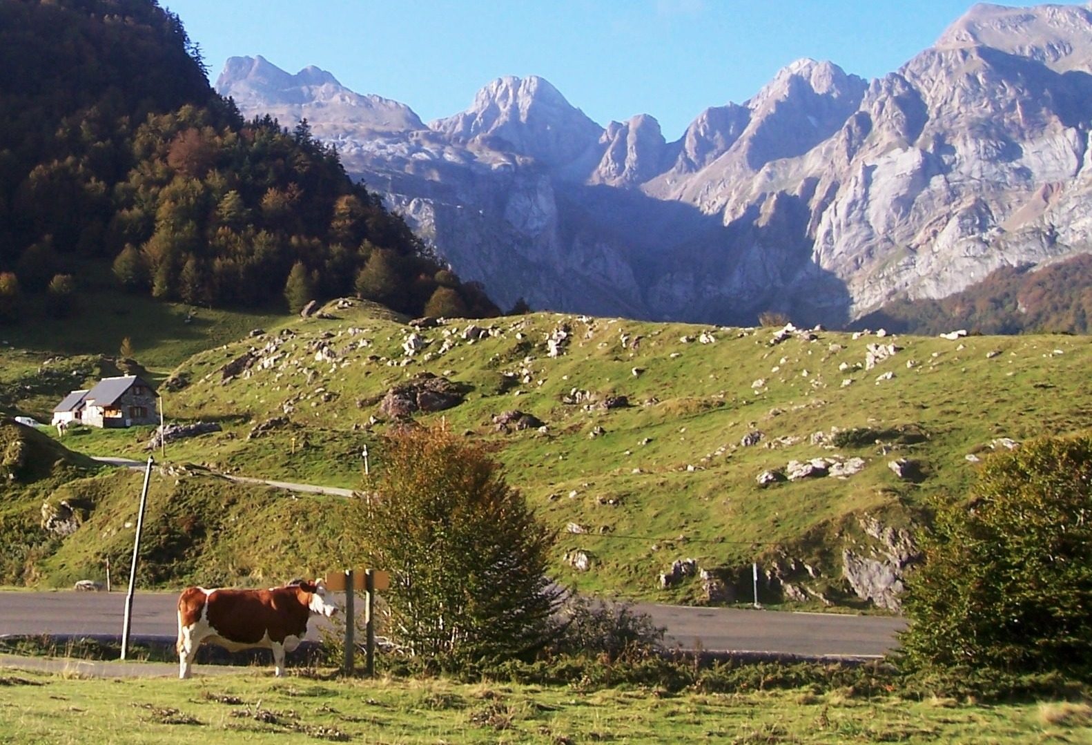
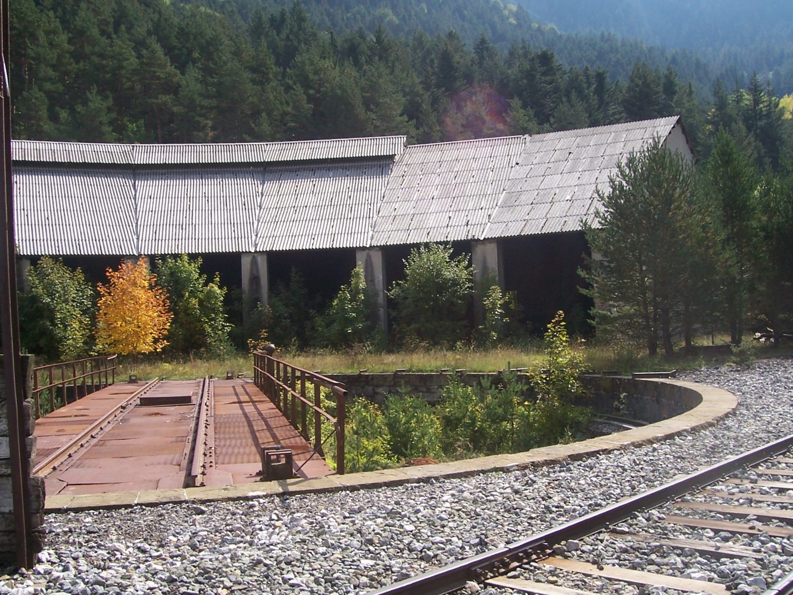
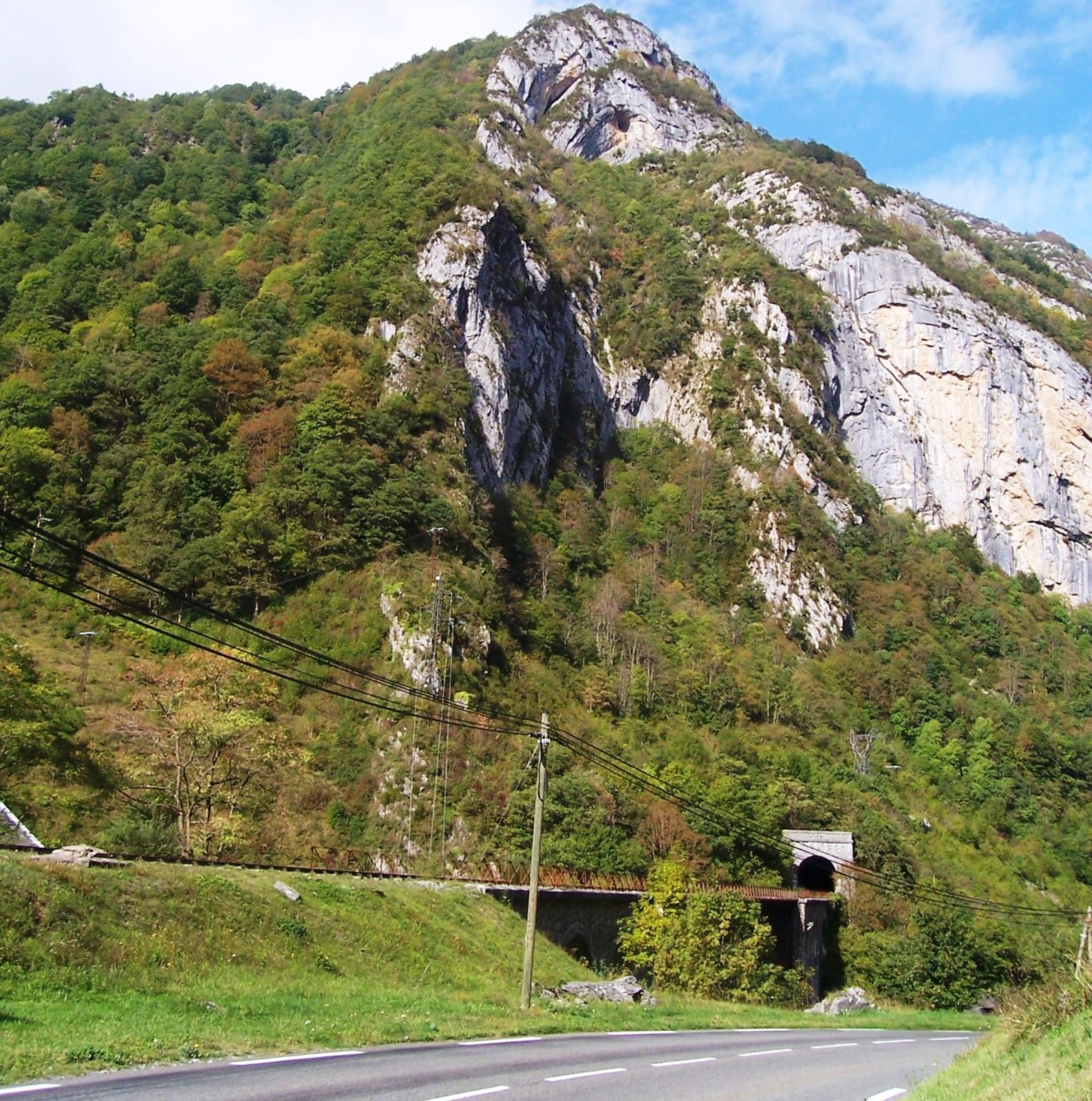
Coming down from the Somport on the French side © Dolors Truñó Travesa - Les Forges d'Abel: coming down from the pass, on the left. The last French station before Canfranc, abandoned since 1970, at the northern mouth of the railway tunnel. 📍 42.821064, -0.561959
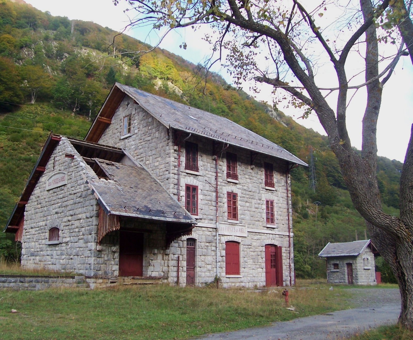
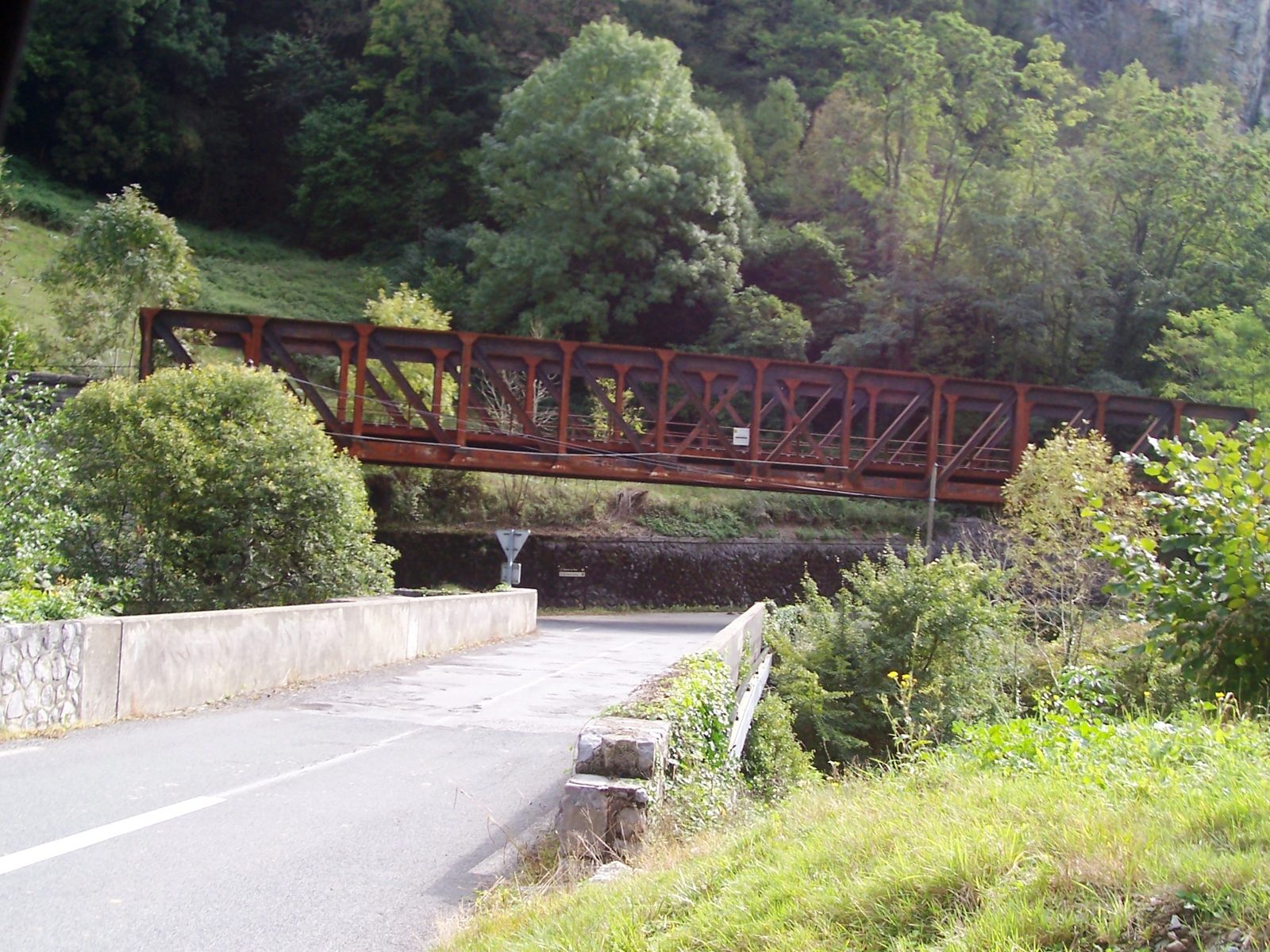
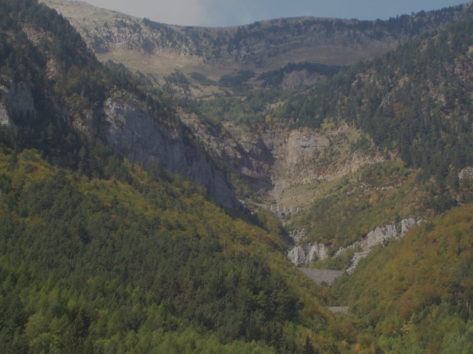
The abandoned station at Les Forges d'Abel © Dolors Truñó Travesa - Arnousse viaduct: a curved stone viaduct on the steepest section of the line. Next to it, the Sayerce helical tunnel, where the train spiralled inside the mountain to gain height. 📍 42.85, -0.555 (approx.)
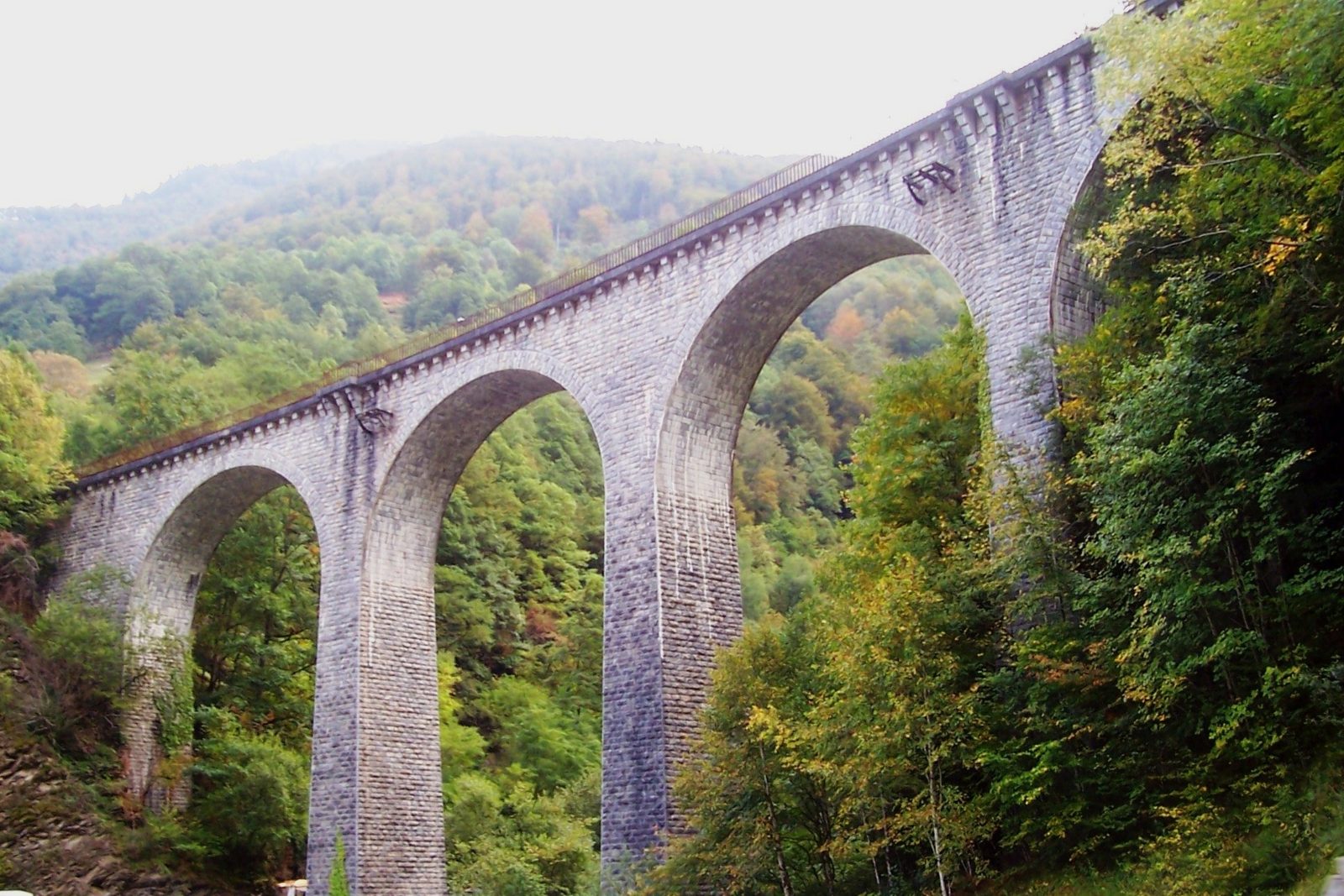
The Arnousse viaduct © Dolors Truñó Travesa - Urdos: the first French village, with the old station, its sign and clock, and stone houses from the 16th to the 19th centuries. Ossau-Iraty cheese country. 📍 42.872793, -0.555275
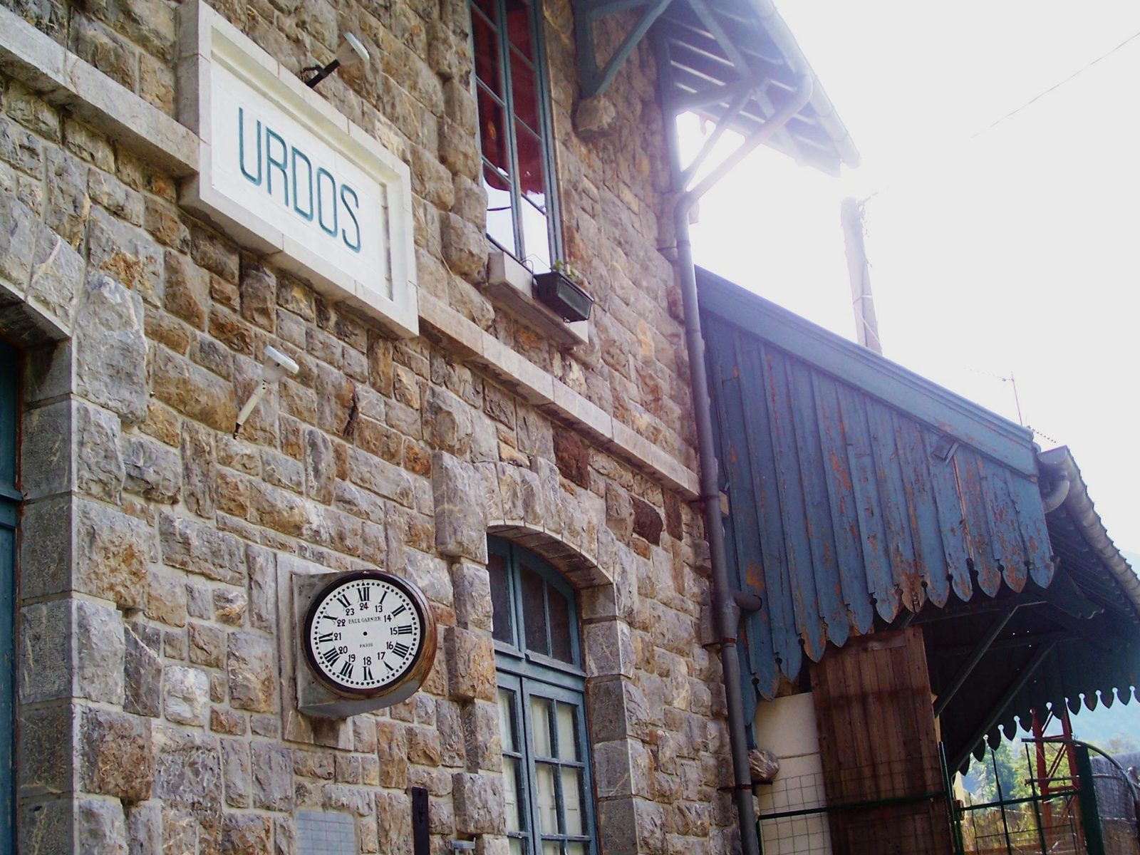
The old Urdos station, with its sign and clock © Dolors Truñó Travesa - Fort du Portalet: set into the cliff, twin of the Coll de Ladrones fort. Built from 1842 onwards; the Vichy regime imprisoned Léon Blum and Daladier here, and in 1945 Pétain was held here. Guided tours in season. 📍 42.886417, -0.562683
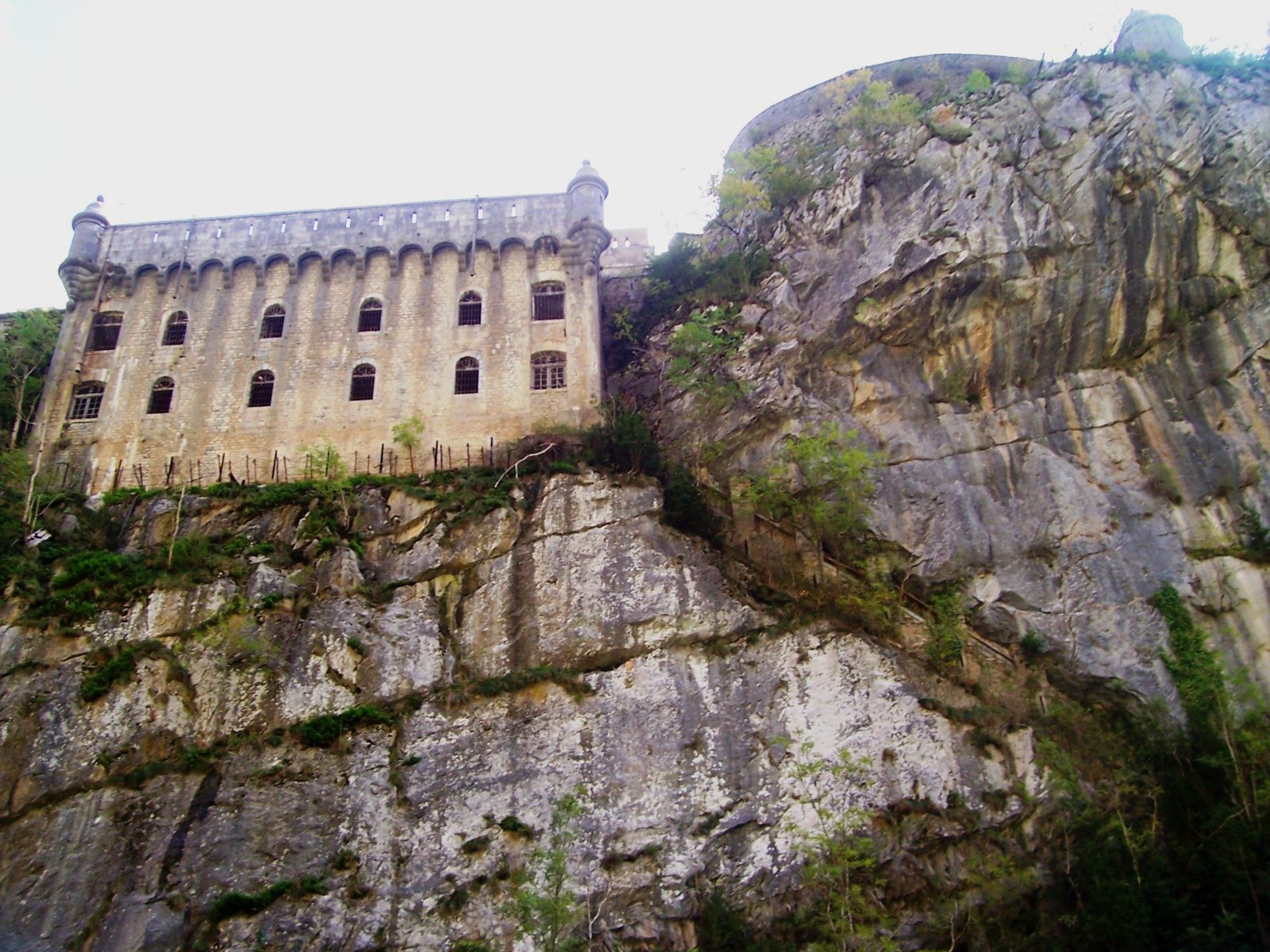
The Fort du Portalet, clinging to the rock © Dolors Truñó Travesa
Stage 2 · From the Portalet to Escot (stops 9–15)
- Etsaut: a stone village, gateway to the Pyrenees National Park. In the old station, the Maison du Parc (free exhibition on the brown bear). This is where the Chemin de la Mâture begins, cut into the rock in the 18th century. 📍 42.912812, -0.570731
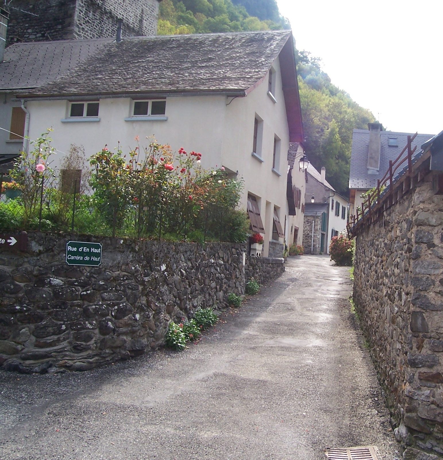
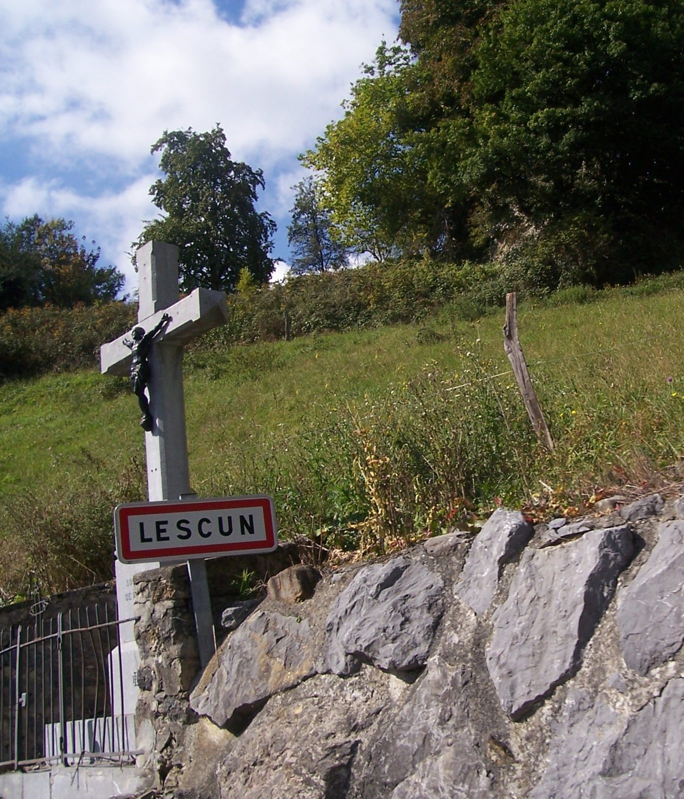
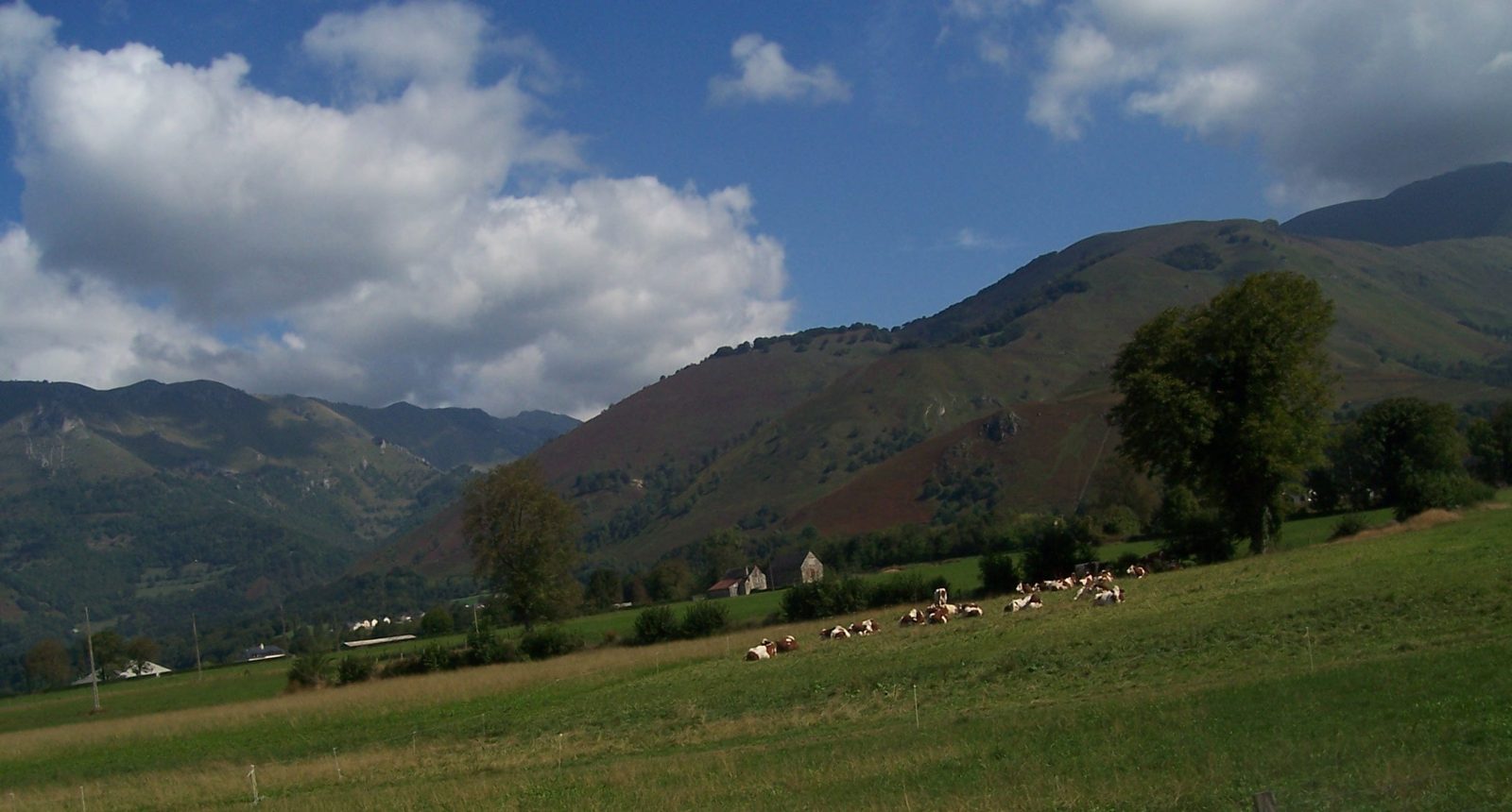
A street in Etsaut © Dolors Truñó Travesa - Lescun (900 m, detour): a narrow road up to the highest village in the valley, facing the Cirque de Lescun, “the Dolomites of the Pyrenees”. The Plateau de Sanchèse is ideal for a picnic. 📍 42.934072, -0.635050
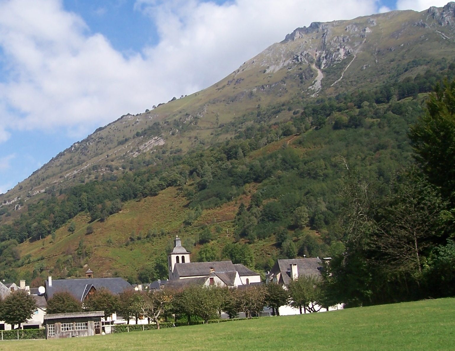
Lescun, beneath the mountain © Dolors Truñó Travesa - Osse-en-Aspe: houses with galleries and a Protestant church, a reminder of an old coexistence between Catholics and Protestants. 📍 42.995145, -0.616912
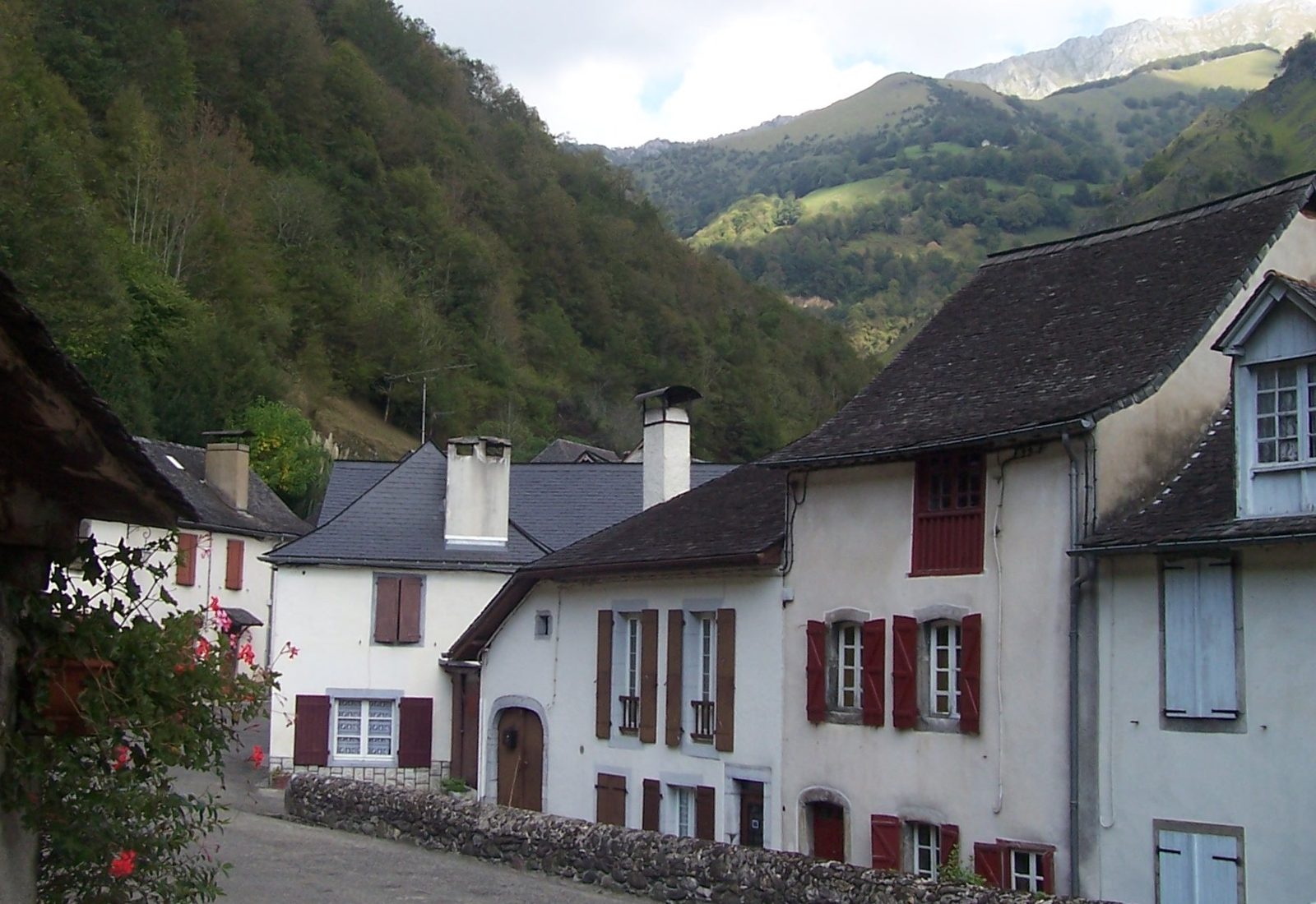
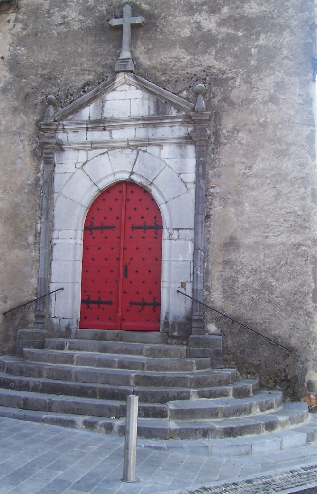
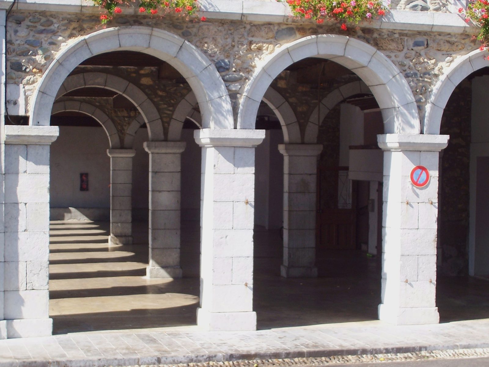
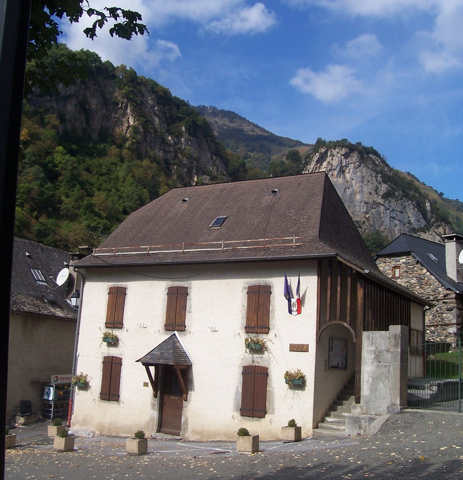
Houses in Osse-en-Aspe © Dolors Truñó Travesa - Bedous: capital of the Aspe Valley. The station is the end of the line from Pau, reopened in 2016: the stretch of the broken route that has already been repaired. 📍 42.995536, -0.603580
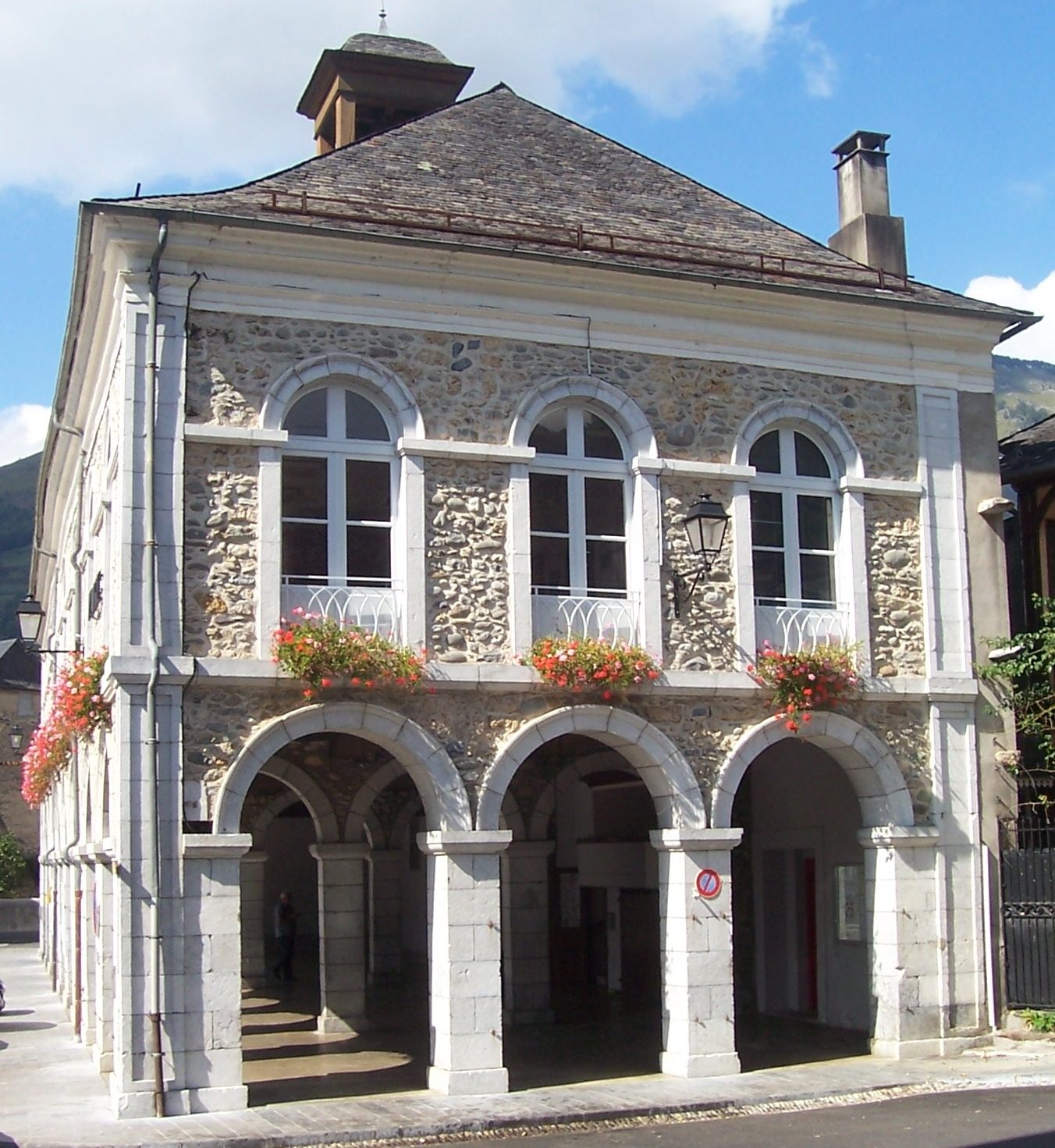
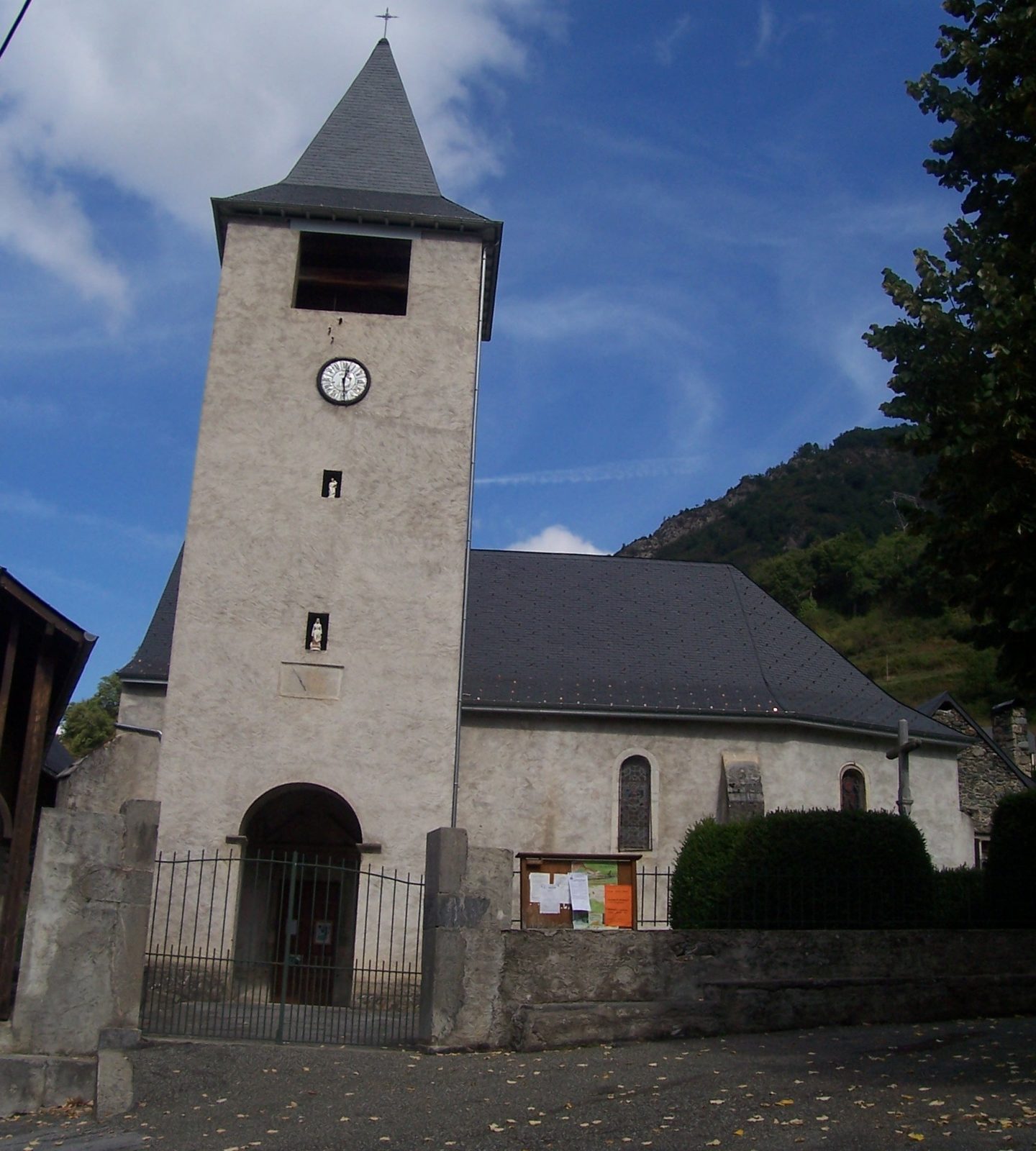
Bedous town hall, with its arcades © Dolors Truñó Travesa - Sarrance: sanctuary of Notre-Dame-de-la-Pierre, with a baroque bell tower and a 17th-century cloister, and the legend of the ox that found the Virgin Mary. 📍 43.050912, -0.602061
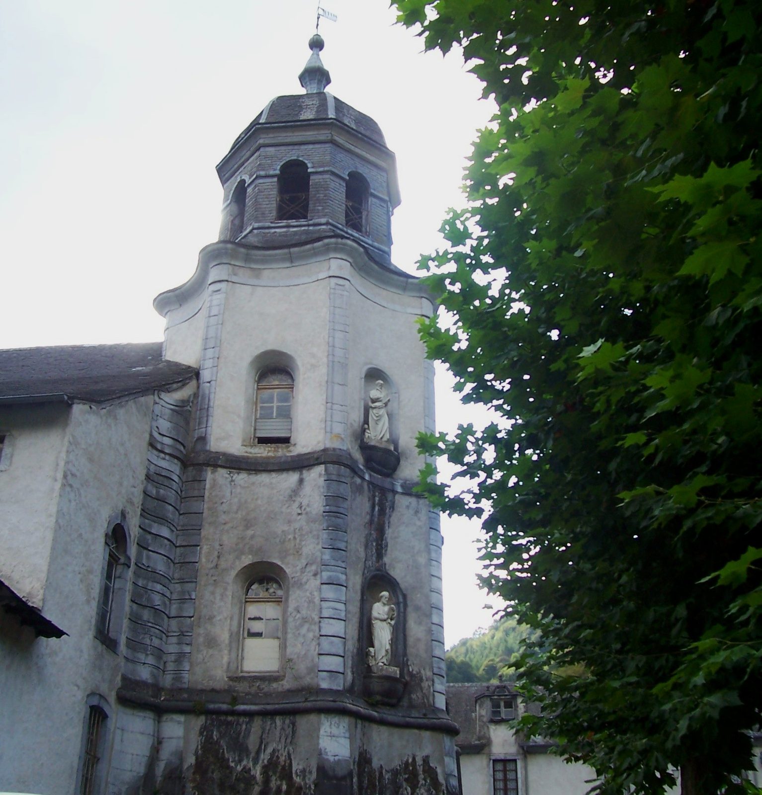
The baroque bell tower of Sarrance © Dolors Truñó Travesa - Escot viaduct: masonry from 1909, 133 m long, with a great 56 m arch. The train from Pau to Bedous still runs over it: the viaduct that works, after so many broken sections. 📍 43.070614, -0.605980
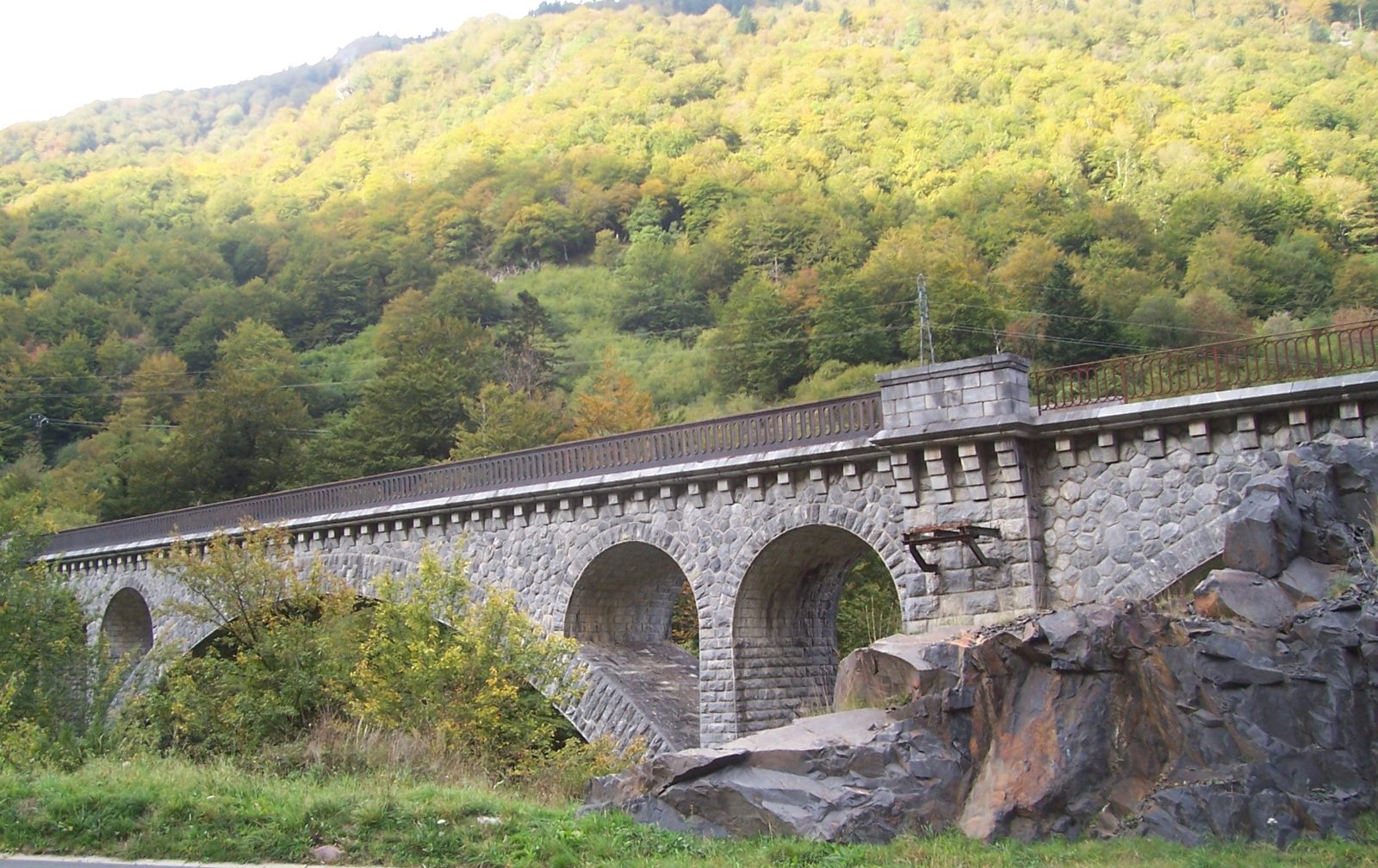
The Escot viaduct © Dolors Truñó Travesa - Escot: the first village in the valley coming from Oloron and the start of the Col de Marie-Blanque (1,035 m), a legendary Tour climb. 📍 43.077378, -0.607028
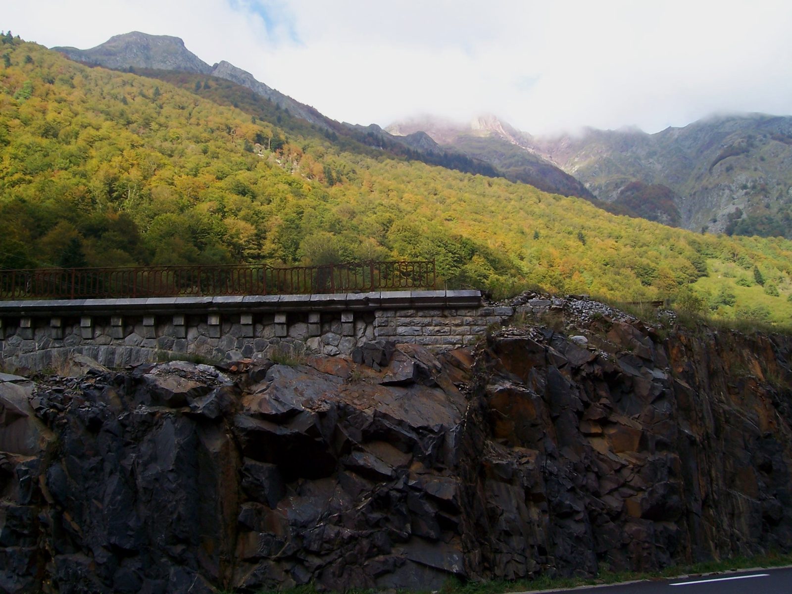
Arriving in Escot, in autumn © Dolors Truñó Travesa
Return through the Somport tunnel
From Escot you return on the N134 to Urdos and the Somport tunnel (8.6 km), which comes out right at Canfranc-Estación. This way you see both forts and both viaducts without repeating the pass.
Return time: about 50 km, a little under an hour.
6Map and QR
For Google Maps, the route is split into four maps plus the journey there and back, in driving mode. Each map has at most five points so that the link also works well on a mobile phone.
QR codes checked with a mobile phone on 8 October 2026.
7History of the station
🔍 Tap a photo to see it full size.
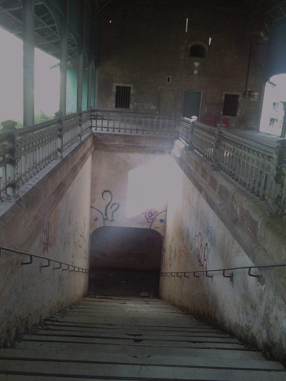
A station far too big for a small village, which in less than fifty years saw royal openings, wars, spies, gold and a broken bridge.
A dream in the mountains (1904–1928)
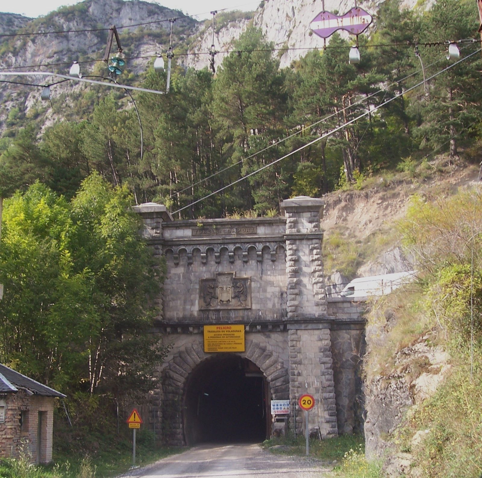
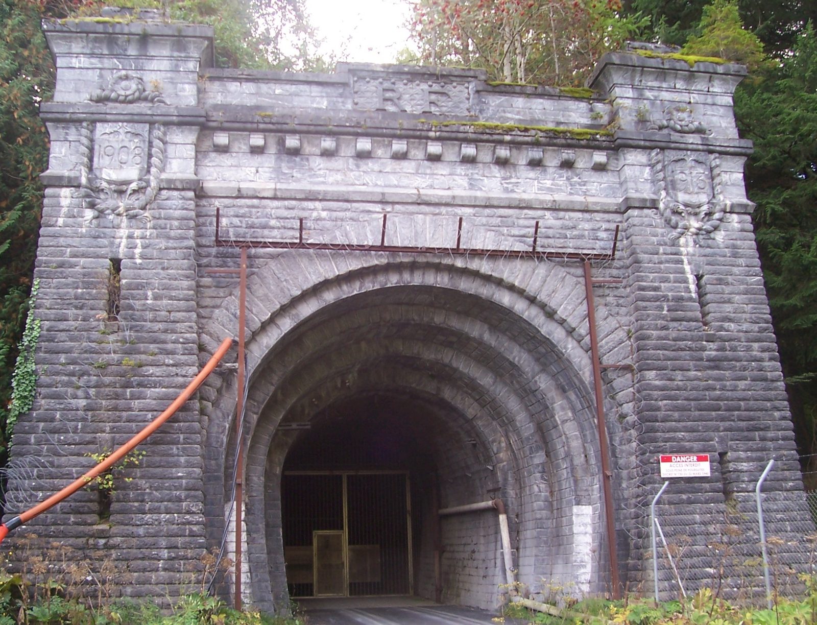
Crossing the Pyrenees by train was an old dream. Spain and France signed the first agreement in 1904, and the 7,875-metre Somport railway tunnel was completed in 1915. Work on the station began in 1923, designed by the engineer Fernando Ramírez de Dampierre, and it was opened on 18 July 1928 by King Alfonso XIII and the French president Gaston Doumergue. It is 241 metres long and has 75 doors on each side. As the Spanish and French tracks had different gauges, everything had to change trains and wagons here: passengers, luggage and goods. That is why everything was duplicated: customs, police, post offices and banks.
Wars, gold and spies (1936–1945)
During the Civil War, Franco's army walled up the tunnel to France, which did not reopen until 1939. In the Second World War, with the Germans in the French part of the station, Canfranc became a key crossing: Spanish tungsten (wolfram), essential for armouring tanks, went to Germany, and gold came into the peninsula. In 2000, a French driver, Jonathan Díaz, found hundreds of abandoned documents at the station that recorded it.
But Canfranc was also an escape route. The French head of customs, Albert Le Lay, while dealing with the Germans, helped Jews, resistance fighters and Allied airmen cross the border and passed information to the Allies. Discovered in 1943, he had to flee. Today he is remembered as the “Schindler of Canfranc”.
The day the bridge broke (1970)
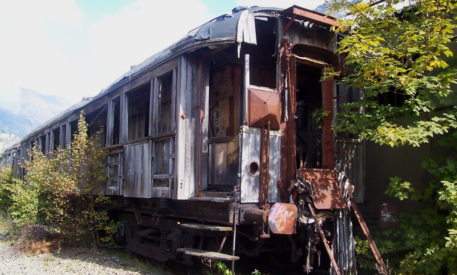
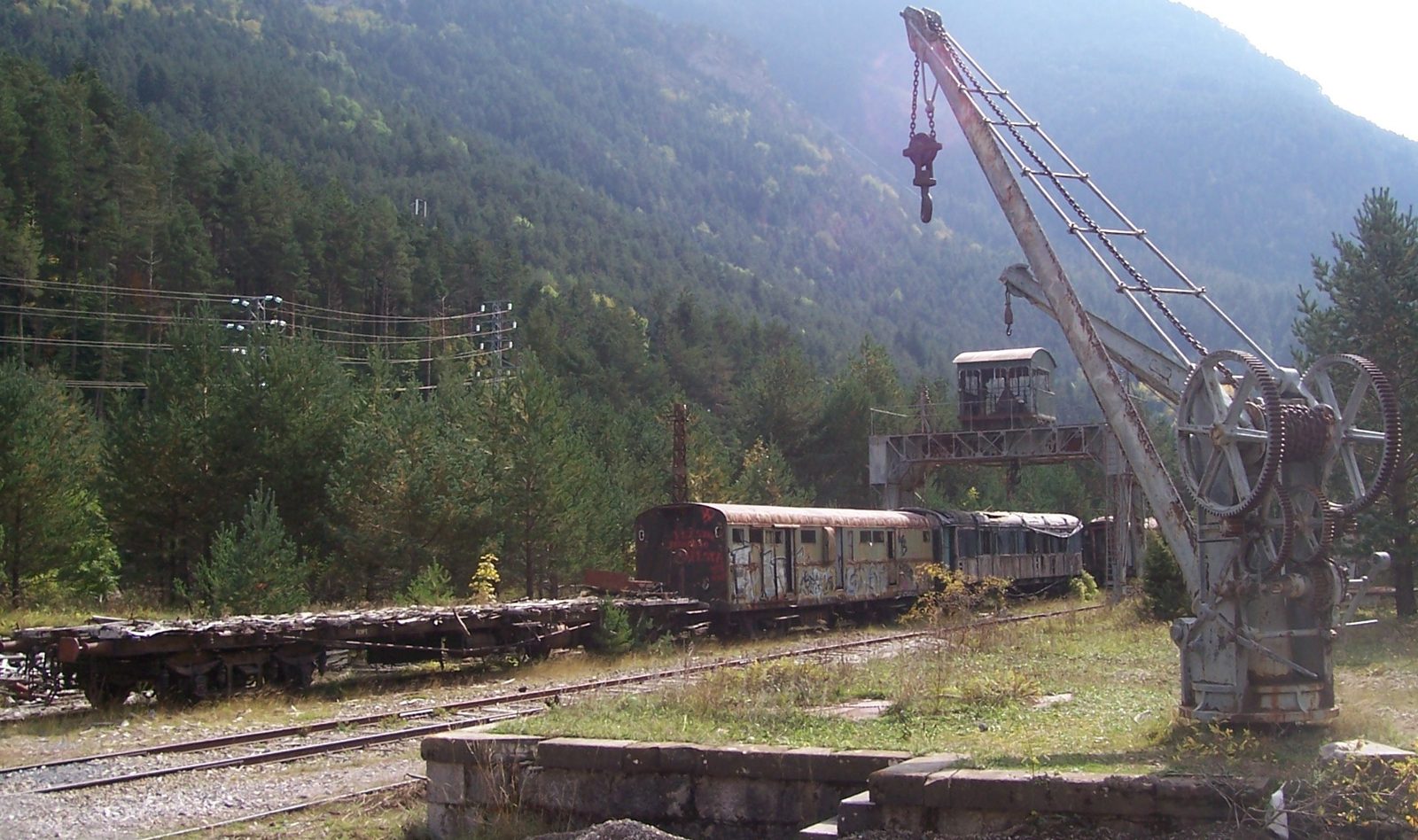
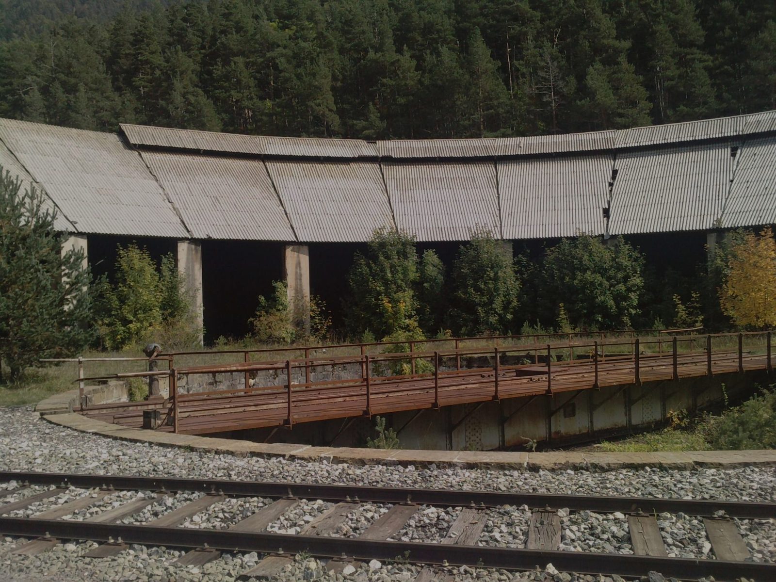
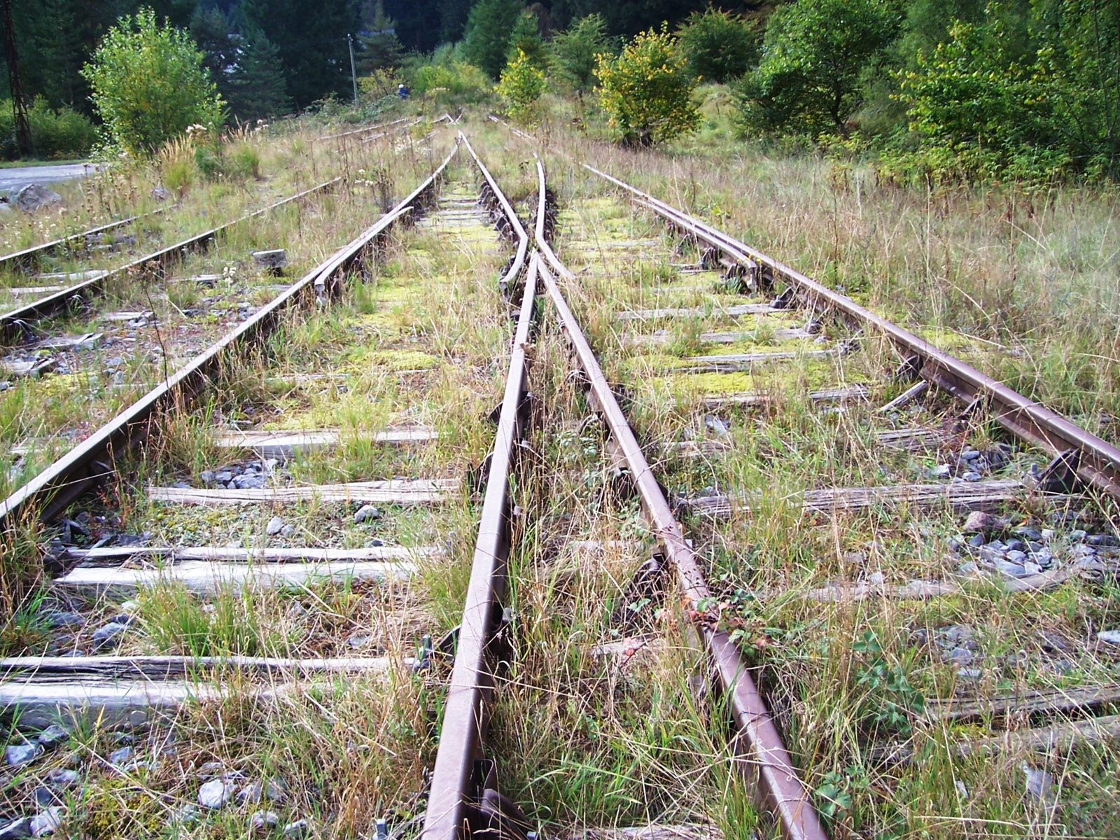
On 27 March 1970, in the Aspe Valley, a French goods train lost its brakes, derailed and took the Estanguet bridge down with it. France did not rebuild it and international traffic came to an end for good. The station gradually emptied: wagons forgotten on the tracks, platforms overgrown with grass and an enormous building falling into disrepair. This is the origin of the name of this guide: the broken route.
Science under the mountain
Fifteen years after the closure, science put the railway tunnel to use. Today it houses the Canfranc Underground Laboratory, one of the largest in Europe, with about 850 metres of rock overhead shielding it from cosmic radiation. Dark matter and neutrinos are studied there. Guided tours are available, but they must be booked weeks in advance.
The station today
The station was declared a Site of Cultural Interest (Bien de Interés Cultural) in 2002, and in 2013 the Government of Aragon bought it for about 310,000 euros. After years of works, a new station for regional trains opened in 2021 in some former goods sheds, and in 2023 the historic building was reborn as a five-star hotel. The hall, with its dome, can be visited. And the broken route has already begun to be mended: in 2016 France reopened the section from Oloron to Bedous. There are 33 kilometres and a tunnel still missing to join the two sides again.
Sources: Spanish Wikipedia, “Estación Internacional de Canfranc”; railtripping.com; escapadarural.com (Underground Laboratory). Books in the bibliography, for further reading.
8Birds of the area
The real Pyrenees: big raptors, cliff birds and river birds. We didn't go out birding, but it's worth packing your binoculars.
- Bearded vulture (lammergeier) (Gypaetus barbatus): the bone-breaking vulture; the Jacetania and the Aspe Valley are among its strongholds.
- Griffon vulture (Gyps fulvus): soaring over the ridges, especially in the afternoon.
- Golden eagle (Aquila chrysaetos): on the high cliffs of the Somport and Lescun.
- Wallcreeper (Tichodroma muraria): the butterfly of the rocks: red wings on stone walls; lower down in winter.
- Alpine chough (Pyrrhocorax graculus): in noisy flocks at the Somport Pass.
- White-throated dipper (Cinclus cinclus): diving in the Aragón and the Gave d'Aspe.
eBird lists for the area
Sources: eBird (Cornell Lab of Ornithology), checked in October 2026.
9Gallery
🔍 Tap a photo to see it full size.
More photos from the trip.
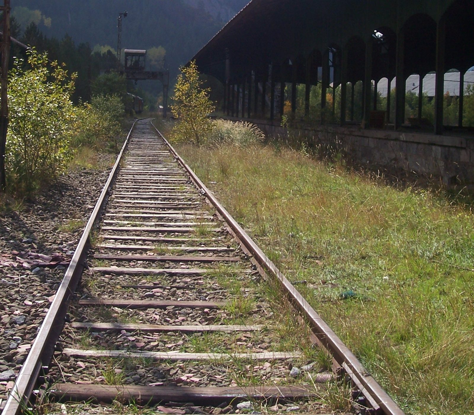
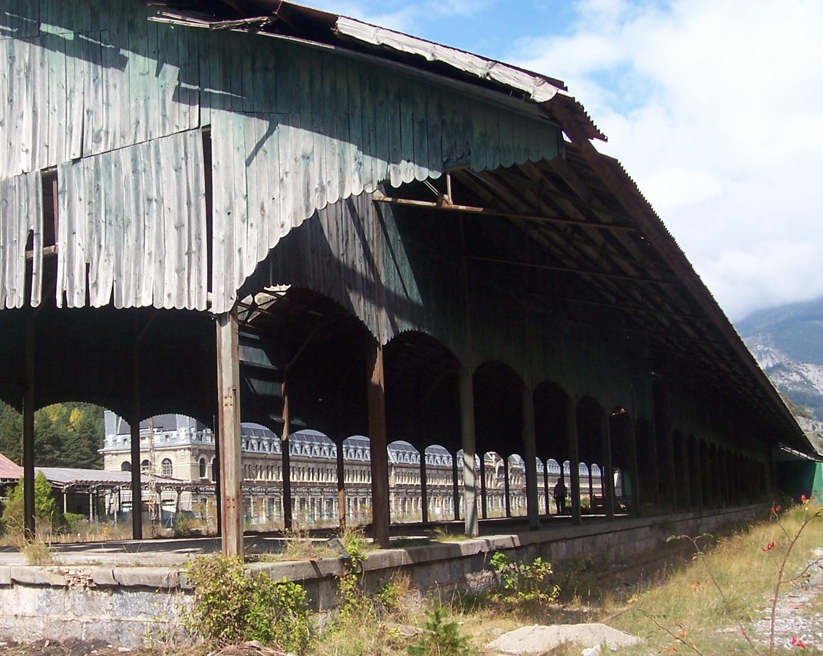
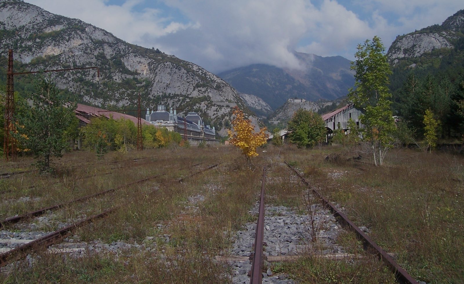
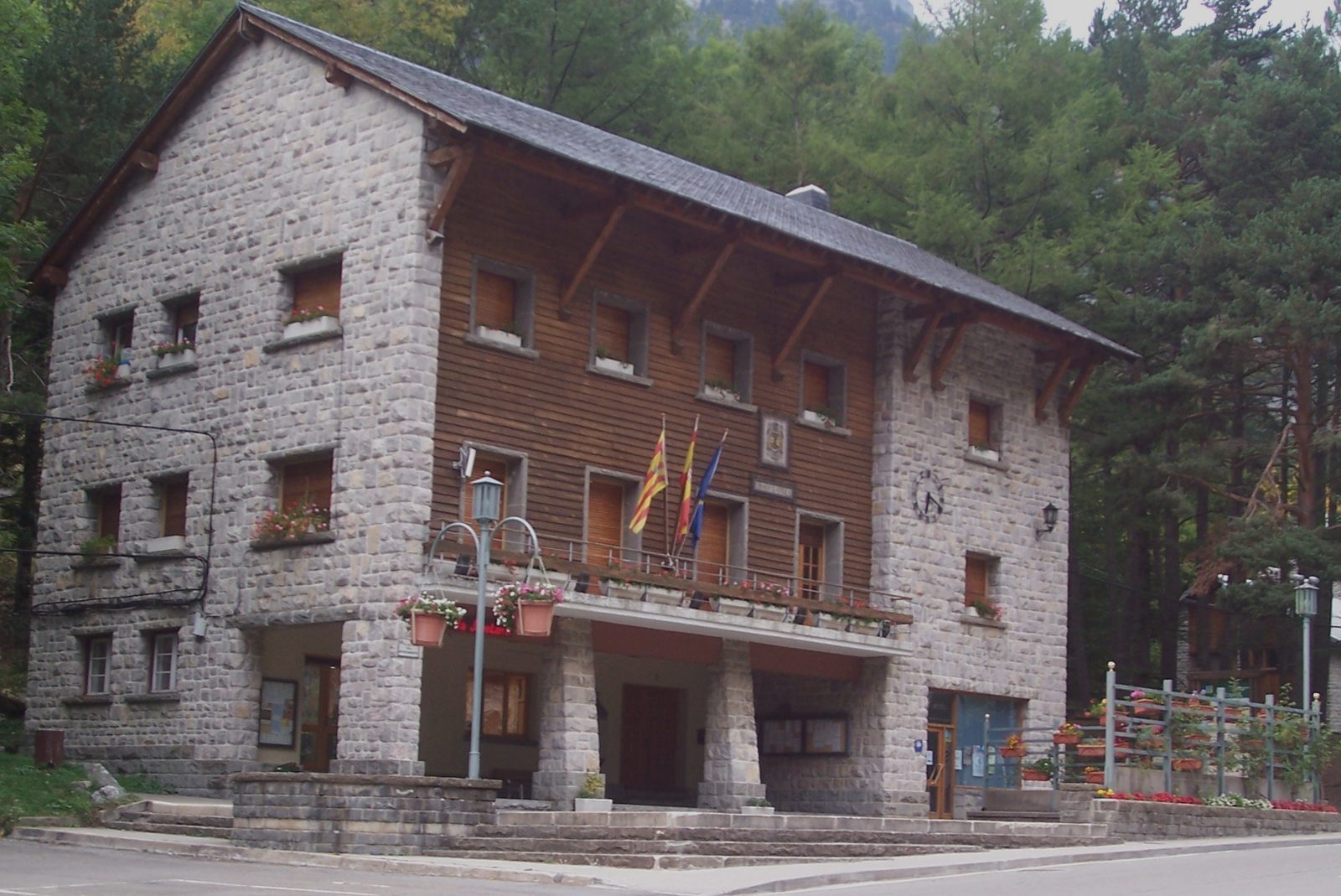
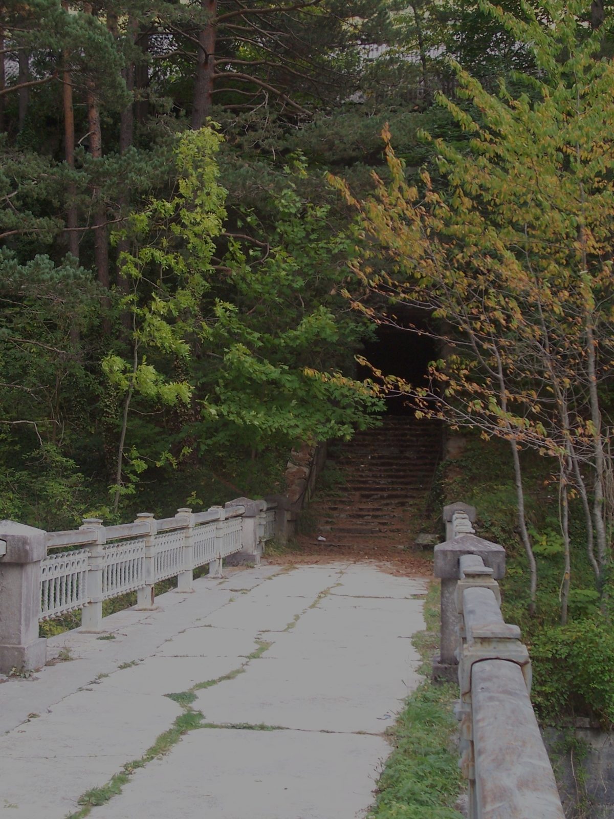
Photos: © Dolors Truñó Travesa, except where indicated.
10Eating and sleeping
Plaza Aragón 4, 22880 Canfranc-Estación · 42.754955, -0.514336 ↗
+34 974 37 33 65 · +34 666 80 71 16 · casaruralmarieta@hotmail.com · casaruralmarieta.com ↗
Source: our own stay (2009); contact details checked in October 2026.
Other places to eat in Canfranc-Estación
We haven't eaten there: these are suggestions from other sources.
Av. de Fernando el Católico, 11 · +34 974 37 20 18
C. Jacetania, 6 · +34 974 94 64 16
Av. de los Arañones, 11 · +34 974 37 30 98
Bookings: +34 974 56 19 00
Sources: valledecanfranc.com and barcelo.com, consulted in October 2026.
Other accommodation
11Budget
A rough guide, per person, for two days and one night with two people travelling by car from Vallgorguina.
| Item | Economy | Comfortable |
|---|---|---|
| Car (about 950 km for the outward journey, the route and the return; petrol or diesel, no tolls) | 50 € | 50 € |
| Accommodation (1 night, shared double room) | 40 € rural guesthouse | 150 € station hotel |
| Food (two lunches, one dinner and one breakfast) | 55 € set menus of the day | 120 € à la carte and a special dinner |
| Visits (station and Fort du Portalet) | 15 € | 20 € |
| Approximate total | 160 € | 340 € |
Our own estimates, October 2026. Accommodation and visit prices vary by season: check them before booking.
12Weather and tips
Webcams
| Place | Link |
|---|---|
| Canfranc-Estación, Jaca and surroundings | apartamentocanfranc.com ↗ |
| Somport Pass (DGT camera) | camareando.com ↗ |
| Aspe Valley: Urdos, Accous and the French side of the Somport | meteoblue ↗ |
| Lescun and the Aspe Valley | pirineo-frances.es ↗ |
| The Jacetania: Canfranc, Astún, Candanchú | turismojacetania.com ↗ |
Checked in October 2026.
13Nearby
Ten Wikiloc routes to extend your stay. Always follow the waymarking.
- Canfranc village – Canfranc-Estación by the footpath ↗
- Loop around Canfranc-Estación ↗
- Canfranc station – Paseo de los Melancólicos – bunkers ↗
- Canfranc-Estación – Cola de Caballo forest ↗
- Somport – Canfranc-Estación ↗
- Way of St James (Camino de Santiago): Canfranc-Estación – Villanúa ↗
- Geological itinerary from the northern mouth of the tunnel to Lescun (by car) ↗
- Cirque de Lescun ↗
- Panorama of the Cirque de Lescun from Cette-Eygun ↗
- Chemin de la Mâture (Aspe Valley) ↗
Before setting off, check the distance and difficulty of each route.
14Sources, links and phone numbers
Bibliography
- El cielo sobre Canfranc · Rosario Raro
- El juego de la muerte. Los secretos y misterios de Canfranc · Xabier Gutiérrez
- Canfranc, la última frontera · Rafael González Martínez
- Canfranc, última estación · Javier Fernández Delgado
Links
- Wikipedia: Canfranc International Station ↗ · Jaca ↗ · Astún ↗
- “La Estación Internacional de Canfranc: historia y actualidad” (institutional repository)
Phone numbers
| Canfranc Tourist Office (also guided tours of the station) | +34 974 37 31 41 · turismo@canfranc.es |
| Canfranc Town Council | +34 974 37 30 29 · canfranc.es ↗ |
| Fort du Portalet (visits) | +33 5 59 34 57 57 |
| Road conditions | DGT: 011 · in France, Bison Futé |
| Emergencies (Spain and France) | 112 |
Music: “Jota de Claude” (with the station verse)
Jaume López Puigbó · info@100rutas.com · Route done: 2 October 2009 · Updated: 25/10/2026